


Cycling Campground in Savoie: The V62 Cycle Route at the Foot of the Campground
Flat rides along the Isère River, the Col du Frêne starting from the lake, and major Tour de France mountain passes less than an hour away: explore Savoie by bike from the campground.
the cycle route at the entrance to the campground
on flat ground between Albertville and Montmélian
the Col du Frêne, starting from the lake
of the Tour de France in less than 1 hour and 30 minutes
Camping du Lac de Carouge is a 3-star campsite in Saint-Pierre-d’Albigny, in the heart of the Combe de Savoie. The V62 cycle route passes right by the campground entrance, the Col du Frêne begins right on the lakefront, and the major mountain passes of the Maurienne region are less than an hour’s drive away. Whether you’re traveling with family or on your own, enjoy the trip at your own pace.
Family Fun: The Belle Via Along the Isère River
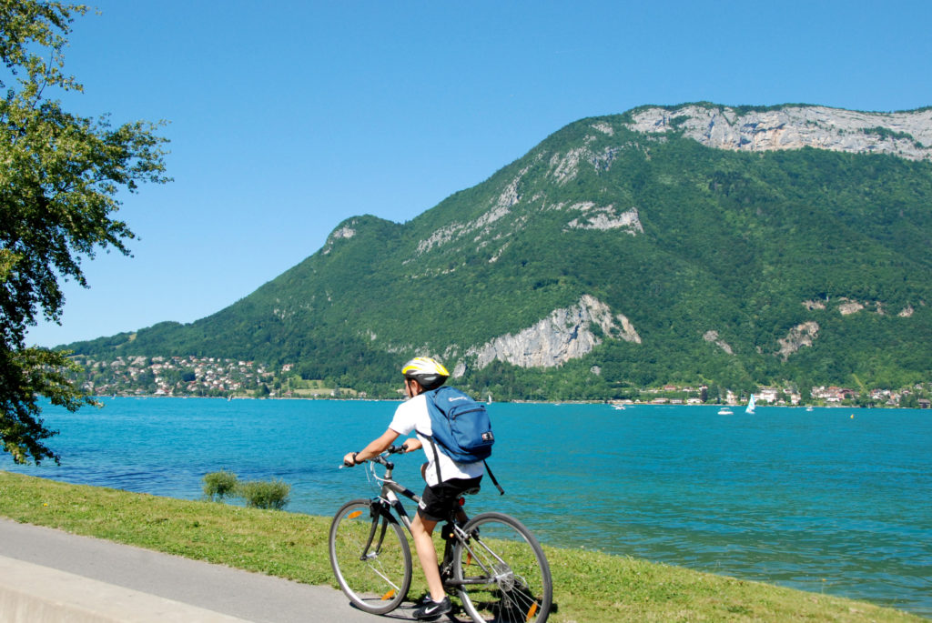
Between Albertville and Montmélian, the V62 cycle route follows the Isère River for 39 km on easy terrain, with the Arclusaz and the Bauges Mountains as a backdrop. It continues north toward Annecy and south along the Isère River via the V63.
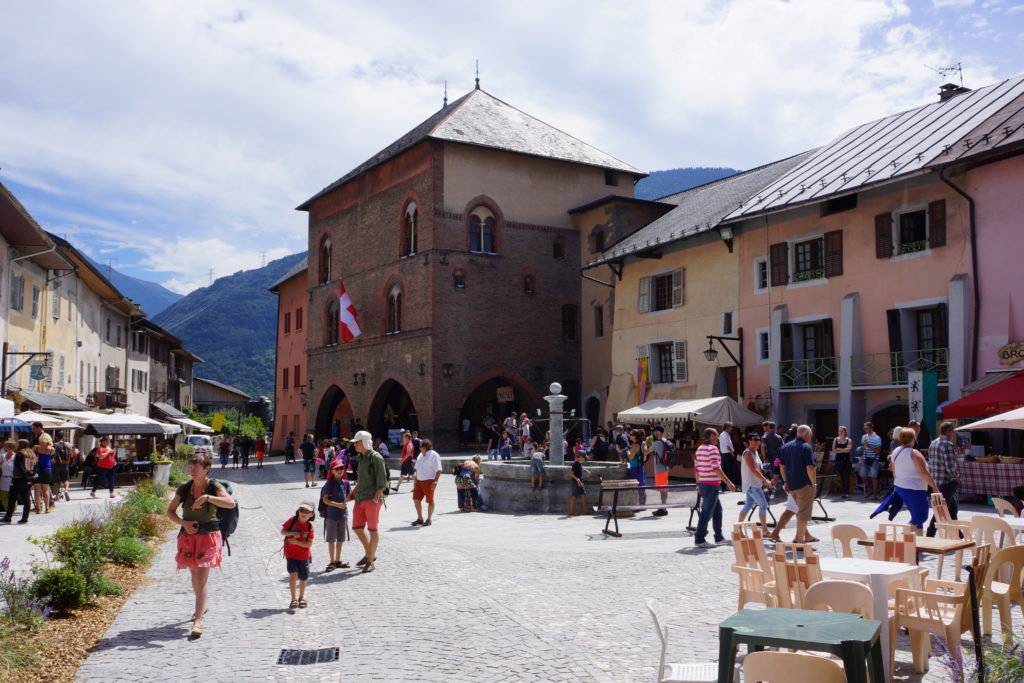
Albertville and Conflans
Northward · on flat ground, along the Isère River
Follow the Isère River to Albertville, then head up to Conflans, with its medieval town, for a break among the ramparts and narrow streets.
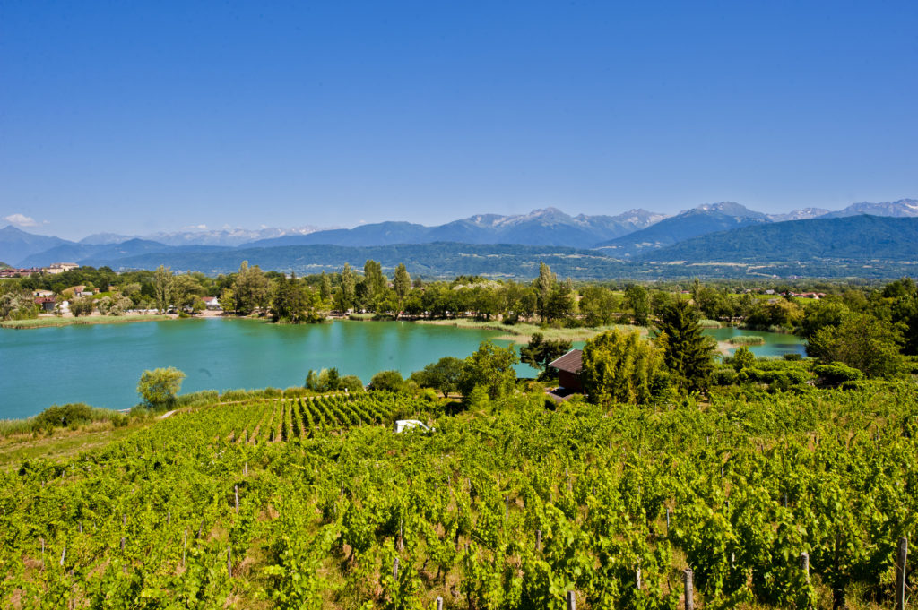
Montmélian and the Vineyard
Southward · on flat ground, along the Isère River
Heading toward Montmélian, between the river and the vineyard-covered hillsides of the Combe de Savoie.
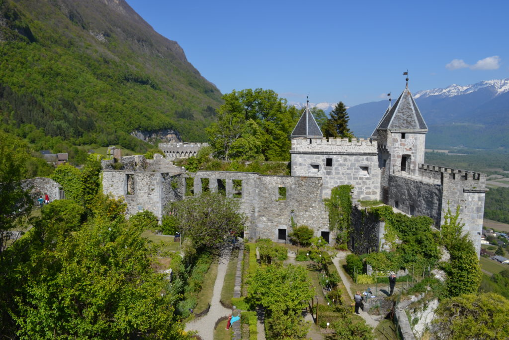
Miolans Castle
Above the campground
A medieval fortress that once controlled the valley’s roads, it overlooks the Combe de Savoie. The climb up requires a bit of effort, but the view makes it worth it.
For hikers: the Col du Frêne, starting from the lake
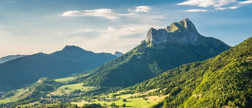
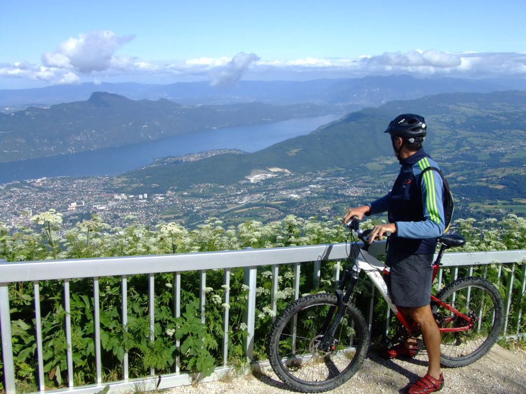
The Col du Frêne begins practically at the shore of Lac de Carouge. About fifteen gentle switchbacks take you up to 950 m, offering views of Miolans Castle, the vineyards, and the Dent d’Arclusaz. At the summit, continue on toward the heart of the Bauges region via the Leschaux Pass or the Marocaz Pass.
| Departure | Lac de Carouge |
|---|---|
| Length | 9.5 km |
| Elevation gain | 700 m |
| Average slope | 7% |
| Summit | 950 m |
Estimated distances: 7.8 to 9.6 km, depending on the starting point chosen.
The Legendary Mountain Passes of the Tour de France: One-Day Tours
The Maurienne and Tarentaise regions are very close by: in about an hour by car, you’ll be at the starting point of seven mountain passes that have become legendary in the Tour de France. The tourist office also offers a cycling route along the Route des Grandes Alpes via the Col de la Croix de Fer and Lautaret passes, starting from Porte-de-Savoie, about 20 minutes from the campground.
| Col de la Madeleine (2,000 m) , starting point: La Chambre | 35 min |
|---|---|
| Col du Glandon (1,924 m) , starting point: Saint-Étienne-de-Cuines | 35 min |
| Col de la Croix de Fer (2,067 m) , starting point: Saint-Jean-de-Maurienne | 40 min |
| Col du Télégraphe (1,566 m) , starting point: Saint-Michel-de-Maurienne | 55 min |
| Col du Galibier (2,642 m) , starting from Saint-Michel-de-Maurienne via the Col du Télégraphe | 55 min |
| Col du Petit-Saint-Bernard (2,188 m) ; starting point: Bourg-Saint-Maurice | 1 hr 05 min |
| Col de l’Iseran (2,764 m) , starting from Bourg-Saint-Maurice, via Val-d’Isère | 1 hr 5 min |
Estimated driving times from the campground to the starting village.
The Tour des Bauges by Bike
Aix-les-Bains, Chambéry, Porte-de-Savoie, Saint-Pierre-d'Albigny, Albertville, Doussard, and Annecy: the route through the Regional Nature Park, an UNESCO Global Geopark.
Bicycle repair and air pump station, lockers, drinking water, restrooms, and a picnic area, right next to the campground.
Take a few days to explore the area, using the campground as a stopover or a base camp.
Rent an electric bike, take a guided tour
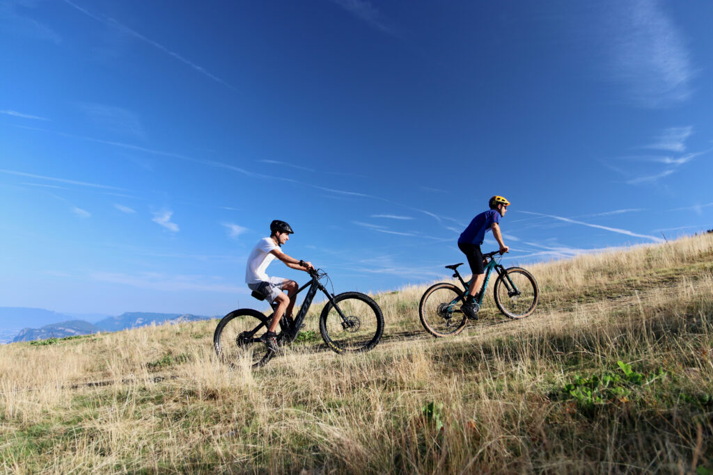
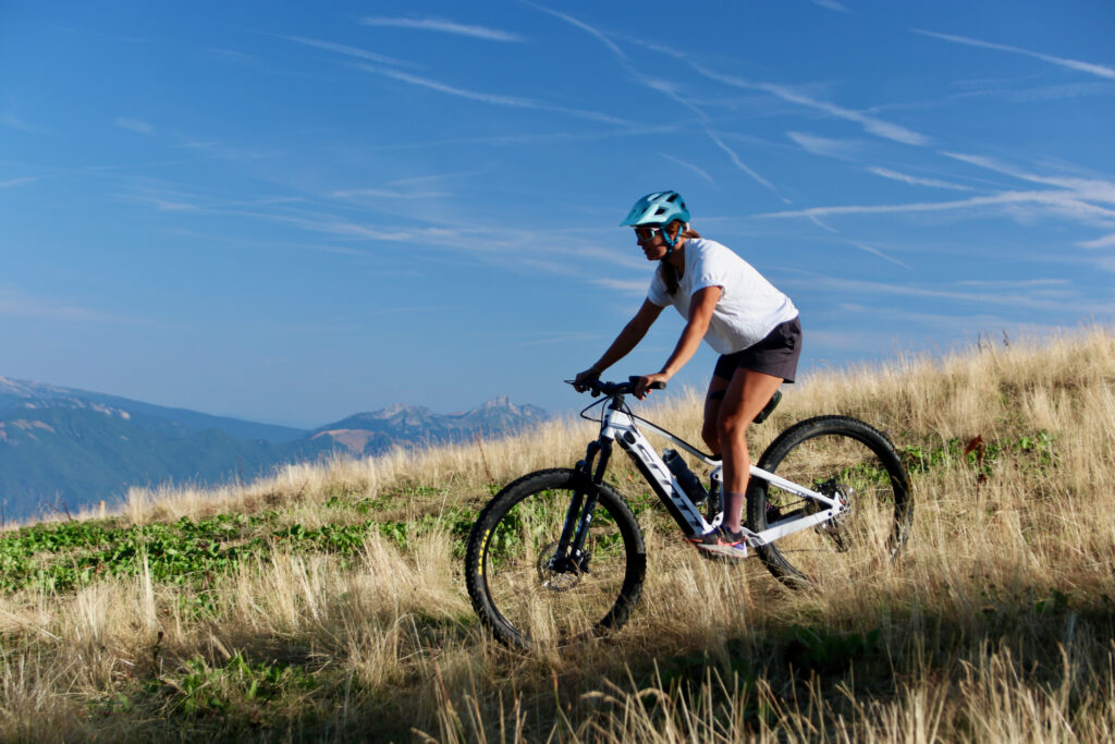
The nearest bike rental shop, Saboïa Vélo, is located in the center of Saint-Pierre-d’Albigny, just a few minutes from the campground. A partner of the UNESCO Bauges Geopark and certified under the “Vignobles et Découverte” program, it also offers guided tours that combine cycling, cultural heritage, and Savoie wines.
| Rental | Electric mountain bikes and gravel bikes |
|---|---|
| Guided Tours | sports, culture, wine |
| Workshop | Repair |
| Season | March through November |
Rates and reservations are handled directly through the rental company.
Staying at the campground
Pitches for tents, trailers, or RVs; mobile homes; lodge tents; and cabins: choose your accommodations. After a day in the saddle, stretch your legs in the campground’s heated swimming pool, set at 27 °C.
A 6 × 15 m pool heated to 27°C, with a beach entry for children and a sun deck with lounge chairs. Open daily from 9 a.m. to 8 p.m.; free for campground guests.
Frequently asked questions
Is the campground located along a cycle route?
Yes. The V62 cycle route, which connects Albertville to Montmélian along the Isère River, runs past the campground entrance. It continues north toward Annecy and south via the V63.
Where can I rent an e-bike near the campground?
At Saboïa Vélo, in downtown Saint-Pierre-d’Albigny, just a few minutes from the campground: electric mountain bikes and gravel bikes, from March through November.
Where should you store your bike at the campground?
At your pitch or near your lodging: be sure to bring a good bike lock. The bike service area at the lake, right next door, offers lockers and a repair and air-pump station.